Disclaimer: The information on our website is provided for general information purposes only. We make no representations or warranties of any kind, express or implied, about the completeness, accuracy, reliability, suitability or availability with respect to the website or the information contained on our website for any purpose. Any reliance on such information is therefore strictly at your own risk and we are not liable for any damages or losses arising out of or resulting from your reliance on any information contained on our website.
Surveying and mapping technicians assist photogrammetrists, surveyors, and cartographers by collecting data and making maps for engineering, construction, and environmental industries. The data collected helps establish property boundaries, build roads and bridges, and find natural resources. Surveying techs visit assigned locations to take measurements of the land while a mapping technician uses geographic information to produce maps and blueprints.
Watch a video to learn what a surveying technician does:
How to Become a Surveying and Mapping Technician

A surveying technician requires a high school diploma. However, some survey techs hold postsecondary training in survey technology. Surveying technicians learn the trade under the supervision of a surveyor beginning with simple duties like entering data into computers and working their way up to help with decisions on how and where to measure the land.
Mapping technicians usually require a high school diploma in addition to technology application courses or training such as Geographic Information Systems (GIS). They receive on-the-job training under an experienced mapping supervisor. During this training you learn how maps are stored, create in databases, and other mapping skills.
Job prospects are becoming more promising for those that are certified. Certification is offered by the American Society for Photogrammetry and Remote Sensing (ASPRS). The National Society of Professional Surveyors also offers a Certified Survey Technician credential. High school students that may wish to pursue this occupation should take classes in algebra, geometry, trigonometry, drafting, mechanical drawing, and computer science to have the best advantage of gaining employment.
Job Description of a Surveying and Mapping Technician
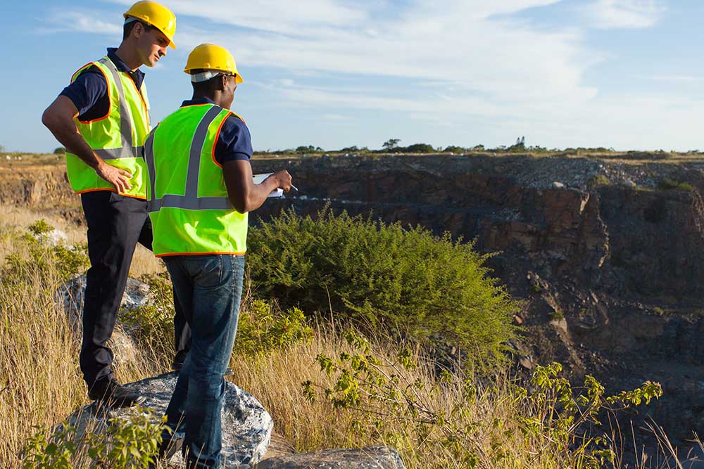
A surveying technician goes to job site locations to record survey measurements and collects additional information required with a team of survey professionals. They operate surveying instruments such as electronic distance-measuring equipment or GIS technology devices.
These technicians set out and mark stakes to conduct a survey and search for previous survey points. They enter the data found from surveying instruments into computers. A mapping technician’s job helps a photogrammetrist and cartographer produce and upgrade maps by selecting information from databases and editing and processing images collected in the field. They produce maps outlining boundaries, elevation, water location, and other important features. They also ensure the accuracy of maps by updating them and identify any areas that may have not been recorded.
Both a surveying and mapping technician should be skilled in decision making, problem-solving, and active listening. They must also have physical stamina due to various environments encountered, long hours on one’s feet, and carrying equipment.
Surveying and Mapping Technician Career Video Transcript
Calculating the curve for a new road, locating a mine, or finding the boundaries on a piece of property, all rely on the efforts of surveying and mapping technicians, who collect data and make maps of the Earth’s surface. Surveying technicians help surveyors and engineers take and document measurements of the land. They place stakes and search for previous survey points such as stone markers.
Surveying technicians typically work full time, outdoors, in all types of weather. They stand for long periods, and may walk and climb hills carrying heavy instruments. They may need to commute long distances, or even relocate to a worksite temporarily. Mapping technicians help cartographers and photogrammetrists create maps from information databases, as well as edit and process images collected from the field.
Mapping technicians typically work full time. They generally use computers in office environments, and may travel to courthouses or lawyers’ offices for research resources. Some specialize in Geographic Information Systems (or GIS) to convert data about a location into a digital format for wider use. Most surveying and mapping technicians work for engineering, surveying and mapping firms or for local government in the highway or planning department. Most surveying technicians have a high school diploma or equivalent, and learn on the job from a surveyor. Mapping technicians need experience with GIS, and often have a related associate’s or bachelor’s degree.
Article Citations
Bureau of Labor Statistics, U.S. Department of Labor, Occupational Outlook Handbook, Surveying and Mapping Technicians.
National Center for O*NET Development. 17-3031.01. O*NET OnLine.
The career video is in the public domain from the U. S. Department of Labor, Employment and Training Administration.

