Disclaimer: The information on our website is provided for general information purposes only. We make no representations or warranties of any kind, express or implied, about the completeness, accuracy, reliability, suitability or availability with respect to the website or the information contained on our website for any purpose. Any reliance on such information is therefore strictly at your own risk and we are not liable for any damages or losses arising out of or resulting from your reliance on any information contained on our website.
Hydrologists study water and all the forms water takes (such as rain, snow, and ice). Additionally, they research groundwater, water quality, and how water influences the environment. The purpose of this research is to effectively try and solve environmental issues relating to water. Next, watch a video from a hydrologist.
How to Become a Hydrologist
For an entry-level position, you would need to earn at least a bachelor’s degree in an applicable field such as hydrology, environmental science, or geoscience. Though some universities do offer undergraduate programs in hydrology, they may offer courses in hydrology that compliment another science program. Though a bachelor’s degree is generally acceptable for an entry-level position, some employers do require a master’s degree. In fact, according to O*Net Online most all hydrologists earn either a bachelor’s or master’s degree.
Job Description of a Hydrologist

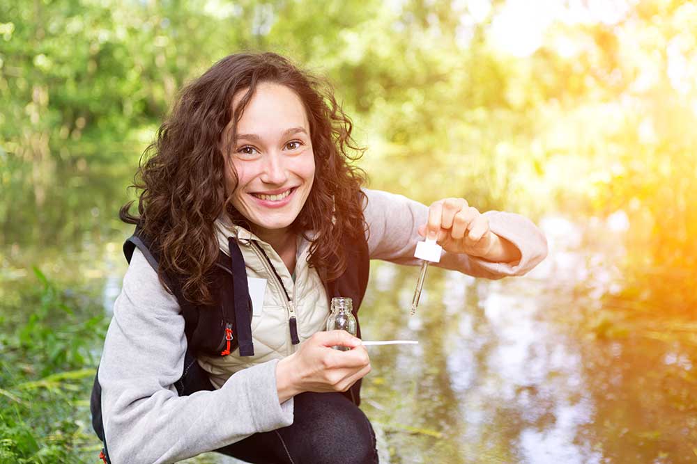
Hydrologists will collect water samples and test pollution, sentiment, or pH levels in the water. They also measure the volume of water and it’s flow and study the impacts of the environment on the body of water.
Data from their research is placed into computer programs so computer models can be created to help researchers determine trends in the body of water they are studying. Hydrologist will then write reports and present their findings. Hydrologists work with other scientists and may supervise hydrologist technicians.
Hydrologist Career Video Transcript
Steven Sobieszczyk, USGS Hydrologist: So right now we’re over at Burnt Bridge Creek. It’s in Vancouver Washington, so right across the Columbia from Portland Oregon. It’s one of the 44 sites I believe in the Willamette Valley or the Portland Metropolitan area that is part of the Oregon study and depending on what site we are looking at there are a variety of different things we are trying to determine.
So here we actually have two monitors in the
stream running 24 hours a day, seven days a week that are recording values every 15 minutes or so and it covers your basic water quality parameters but then there is also some newer technologies put on this instrument that include chlorophyll and blue/green algae. There is also something called an FDOM, it’s a fluorescence dissolved organic matter, so we’re interested in knowing how much broken down leaflet or how much organics are actually making it into the stream.
The program we’re out here for as part of the U.S. Geological Survey is the National Water Quality Assessment Program, so we have an acronym for it we call it NAWQA. It started in the early 90’s and then every decade or every ten years or so we’ll do another cycle of these assessments, so what we’re doing is we’re able to actually compare and learn about how rivers are responding to things like urbanization and how people are, land is being developed, more people moving in, more people being born, the effect that has on the water and water quality and we want to see how that changes over time.
So this data’s gonna be available and people can use that for scouting places to go fishing and things like that, so government groups, regulatory agency groups use it, recreationists can use it and then the USGS uses it for its own kind of historical record and comparison and analysis that we like to do.
Article Citations
Bureau of Labor Statistics, U.S. Department of Labor, Occupational Outlook Handbook, Hydrologists.
National Center for O*NET Development. 19-2043.00. O*NET OnLine.

